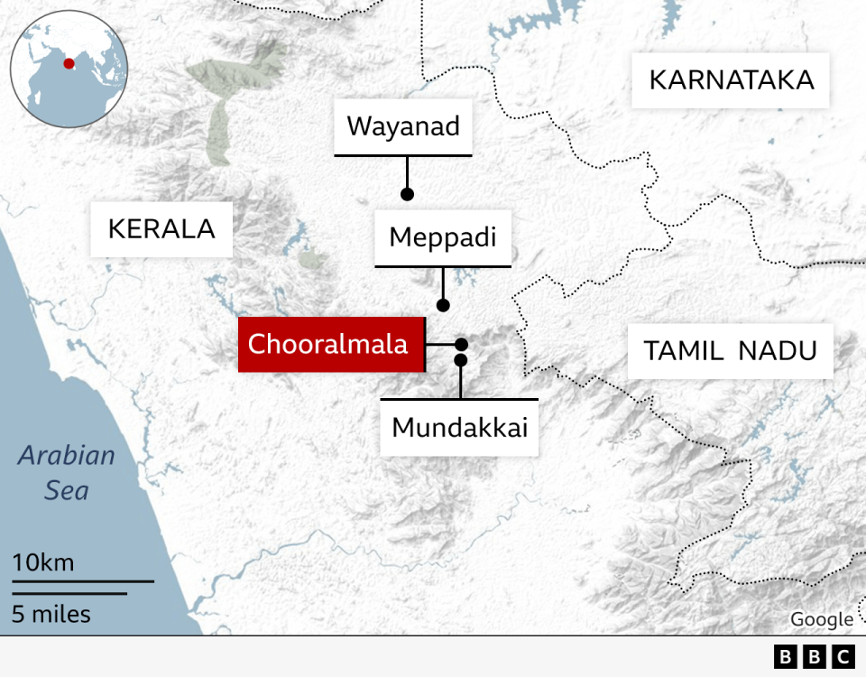
A loud noise shook Ajay Ghosh awake at his home in the southern Indian state of Kerala in the early hours of Tuesday.
At first, the salesman, who lives in Wayanad district’s Mundakkai village, did not quite understand what caused the sound.
But when he looked out and saw an enormous amount of mud flowing down from a hill above, he knew what was coming.
At least 158 people have been killed and 227 people are still missing in the massive landslides that hit Mundakkai and neighbouring Chooralmala area that night.
The disaster, which is the worst the state has seen since 2018, has left behind a trail of destruction in its wake.
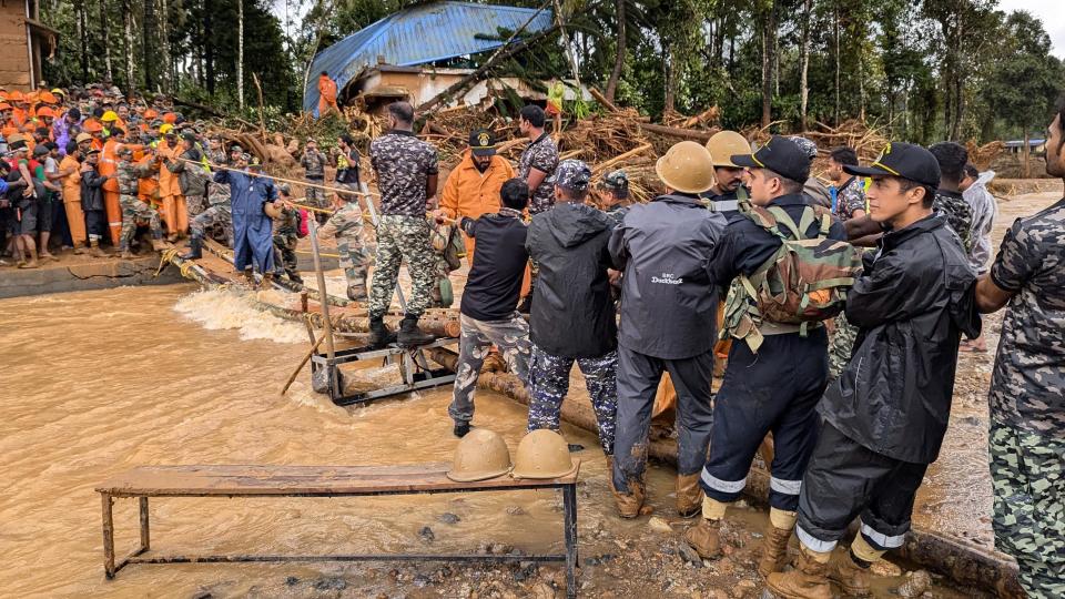
Pictures show uprooted trees, flattened houses and broken bridges submerged in muddied waters.
“My family survived but 40 people died near my house, not even a mile away,” Mr Ghosh said.
The intensity of the landslide was so high that it split the Iruvanipuzha river, which flows through the area, into two.


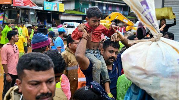
On Tuesday, authorities launched a massive rescue operation in the area to look for possible survivors. But their efforts have been complicated by heavy rains.
A hilly region known for its rugged terrain and stunning vistas, Wayanad is a popular tourist destination which attracts more than 100,000 visitors every year. The district is mainly inhabited by indigenous tribes and is dotted with picturesque tea and cardamom estates.
A part of the ecologically sensitive Western Ghats – a mountain range that runs along the western coast of India – the district is not new to landslides.
In fact, a 2011 report submitted by a panel of experts, led by ecologist Madhav Gadgil, had classified the entire Wayanad region as “fragile, medium fragile and less fragile area”.


The report also recommended a ban on all ” environmentally-hazardous” human activities along the Western Ghats, including in Wayanad.
The recommendations have since been continuously opposed by all political parties and governments of Kerala, who maintain that it would stall development in the area.
It was also opposed by the neighbouring state of Karnataka, which argued that it would impact livelihoods of local people.
The indecision on the issue has meant that environmentally-hazardous activities like deforestation, mining and building construction have continued in the region.
Experts say excessive rainfall in Wayanad this season – about 60-70% higher than usual – has added to the scale of the disaster.
“This time, the accumulated heavy rainfall of the last two weeks was followed with this extreme category rainfall of Tuesday, causing massive flooding,” said Abhilash S, director of the department of atmospheric sciences in Cochin University of Science and Technology.
“That was the primary triggering factor,” he added.


Others point out that rapid urbanisation and increasing mining activities in surrounding areas have made the region even more fragile.
In 2019, 17 people died in a landslide that struck Puthumala, 10km (six miles) away from Tuesday’s disaster. A report by the Kerala Forest Research Institute (KFRI) had then pointed out that the landslide was caused by rock mining and quarrying in the region.
“This entire area is very sloppy with steep slopes. The only thing that holds the area together is vegetation,” said TV Sajeev, the chief scientist of KFRI.
But in recent years, the Kerala government has allowed certain non-plantation activities in this region. “As a result, plantation owners have shifted to tourism and built mega structures for which the ground had to be levelled, making it even more fragile,” Mr Sajeev added.
The scientist says the government should go back to the Gadgil report that said fragile land must be managed in a different way.
“The way out is to make sure that our ecological systems are really healthy. If they are healthy, they can handle any kind of climate change,” he said.


